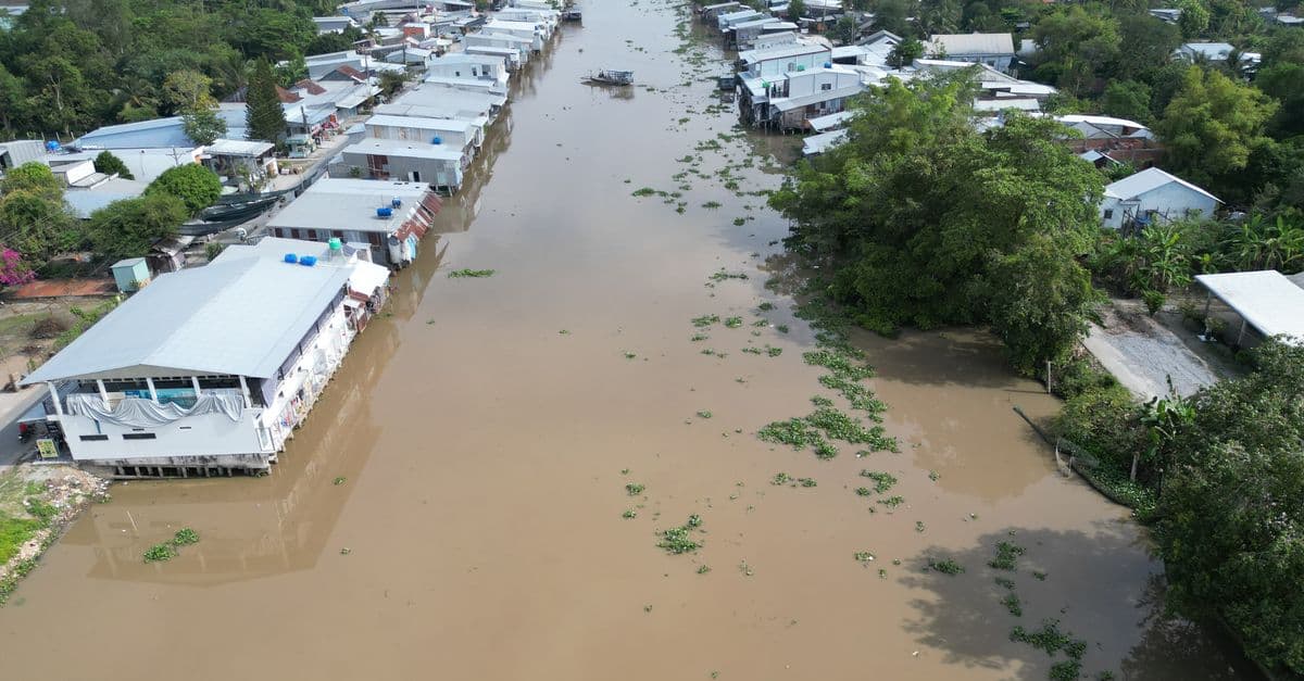
Pakistan lives with some of the fastest-moving environmental hazards on Earth: catastrophic Indus flooding, the world’s worst urban smog, extreme heat, and frequent earthquakes. The 2022 floods alone affected tens of millions of people. Yet the open-data landscape to see any of it in one place is thin — no national data portal, agencies that publish PDFs rather than APIs, sources scattered across a dozen institutions.
For a private client, we built the missing view: a single, live, map-based engine you can simply talk to.
One map, many trustworthy sources, one question box
Ask Pakistan is a chat-and-map interface centred on the country. Under a satellite base map with optional 3D terrain, each hazard is its own connector into a public, authoritative source — every layer carrying its origin and licence with it:
- Multi-hazard disaster watch (GDACS) filtered to Pakistan — floods, cyclones, earthquakes, drought.
- River-discharge forecasts (GloFAS / Copernicus) at the Indus-basin gauges, against the seasonal mean.
- Air quality (Open-Meteo / CAMS) across major cities — with the Lahore smog front and centre.
- Earthquakes (USGS) across Pakistan and the Hindu Kush, heat risk, active-fire and crop-burning, plus World Bank national indicators.
You don’t click through menus to find them. You ask — “where is flood risk highest this week?” — and a grounded assistant answers from those same data tools and moves the map for you.
Built to be honest and deployable
Two design choices matter most. First, zero-key-first: the map and every data panel work with no API keys at all; optional keys light up extra capability and degrade gracefully, so the thing runs anywhere. Second, restraint on disputed areas: boundaries across the Line of Control, Kashmir and Gilgit-Baltistan are rendered as approximate and disputed — the engine asserts no sovereignty. In a politically sensitive region, that neutrality is a feature, not an omission.
A guided showcase mode — cinematic fly-overs, a 3D orbit over the Karakoram, a 2022-flood before/after slider — turns the same engine into something a non-specialist can grasp in ninety seconds.
The same engine, anywhere
This is one instance of Operal’s geo-engine line — the same open-data pattern behind our Swiss forest analysis and vineyard microsites, pointed at a new geography and a new set of hazards. Wherever public Earth-observation data exists, we can stand up a grounded, conversational map over it.
The data was always there. What was missing was a way to ask it what’s happening — now.